Recreation in and Around North Cascades National Park
Last updated: February 2026
This is a fast, decision-first guide to choosing what to do in and around the North Cascades park complex on a 1-2 day SR-20 trip: the best short stops, a few high-value easy hikes, and the simplest water and fishing options - plus the seasonal access reality that can change the plan.
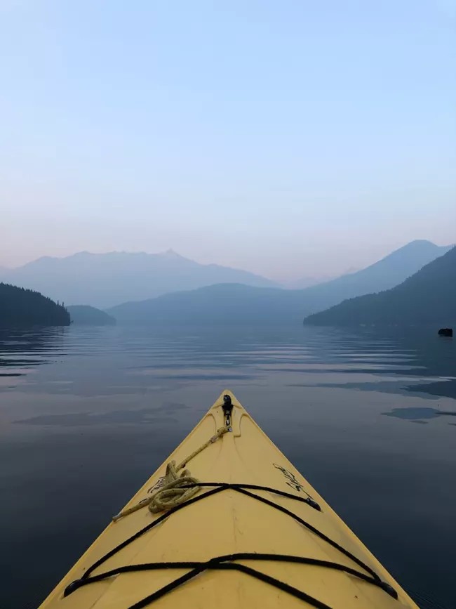
Public domain (US government work; NPS Photo)
Click to Get Trail and Road Updates
Quick decision guide
If you want maximum scenery with minimal walking
Do SR-20 highlights: Newhalem area + Gorge Creek Falls + Diablo Lake Overlook (stop list on NPS) (NPS North Cascades Highway highlights).
If you want one easy “real hike”
Rainy Lake is paved and commonly used as the easiest trailhead stop when the east side is open (check access first) (WTA Rainy Lake) (WSDOT SR 20 status).
If you want a short hike with a payoff view
Thunder Knob is a reliable Diablo-area hike with published distance and gain from NPS (crowded in summer) (NPS Thunder Knob).
If you want paddling
Diablo and Gorge Lakes are the simplest SR-20-accessible paddling waters; Ross Lake is not accessible by car from SR 20 (NPS boating) (NPS boating).
Related Guides
Short scenic stops and easy walks along SR 20
- Newhalem and the Visitor Center area (before Diablo Lake corridor) - Use this as your first stop to reset and pick your day. The River Loop Trail is listed by NPS as a 1.8-mile loop starting near the North Cascades Visitor Center (NPS Newhalem area trails).
- Tip: Start here early if weather is uncertain. If visibility collapses later, you still got value.
- Gorge Creek Falls (after Newhalem, before Diablo Lake Overlook) - NPS describes a short interpretive walk to an overlook with waterfall, gorge, and dam views (NPS highway highlights).
- Tip: This is a “high payoff per minute” stop. Do it even on tight schedules.
- Diablo Lake Overlook (after Gorge Creek Falls) - NPS lists it as a primary highway highlight and notes it can be very crowded in peak season (plan a backup stop) (NPS highway highlights) (NPS Diablo Overlook accessibility).
- Tip: If parking is full, do not wait. Go to Happy Creek Forest Walk and retry Diablo later (stop list on NPS) (NPS highway highlights).
- Happy Creek Forest Walk and Ross Lake Overlooks (after Diablo Lake Overlook) - NPS lists these as nearby highlights and they work well as “backup anchors” when bigger viewpoints are crowded (NPS highway highlights).
Three high-value hikes you can actually fit into a 1-2 day drive
- Rainy Lake (east side, best “easy hike” choice when open) - WTA describes the whole trail as paved and notes wheelchair accessibility considerations; use it as your safest family-friendly “real trail” stop (WTA Rainy Lake).
- Tip: If you are doing Rainy Lake, confirm SR 20 is open through Rainy Pass before you leave the west side (WSDOT SR 20 status).
- Thunder Knob (Diablo area, best short “view hike”) - NPS lists it as 3.6 miles roundtrip with 425 feet of elevation gain and notes summer crowding (NPS Thunder Knob).
- Tip: Do this earlier in the day if you want parking; it shares the same corridor pressure as Diablo Lake Overlook.
- Blue Lake (near Washington Pass, strong payoff for moderate effort) - WTA’s Highway 20 Blue Lake listing gives 4.4 miles roundtrip and 1,050 feet of gain and calls summer the best season (WTA Blue Lake (Highway 20)).
- Tip: Treat Blue Lake as a “Day 2” target if you are doing a 2-day trip. It is a time commitment compared to the quick stops.
Water recreation: what is actually easy vs what is a trap
- Easy: Gorge and Diablo Lakes for paddling - NPS notes kayaking and canoeing are popular on Gorge and Diablo Lakes and identifies ramp/launch locations in the park complex (check official source for current conditions) (NPS boating).
- Not easy: Ross Lake from SR 20 - NPS states Ross Lake is not accessible by car from State Route 20 and that there is no boat launch on the south end of Ross Lake (NPS boating).
- Possible but advanced logistics: Ross Lake via Diablo + portage - NPS describes launching portable craft on Diablo Lake at Colonial Creek and boating to the end of Diablo Lake, then portaging around Ross Dam (includes a long gravel road with switchbacks and elevation change) (NPS boating on Ross Lake).
- Tip: If you want “easy paddling,” do not build your day around reaching Ross Lake by boat from SR 20. Choose Diablo or Gorge instead (NPS boating) (NPS boating).
Fishing and low-effort wildlife viewing
- Fishing - NPS publishes park-complex-specific fishing regulations and closures (for example, Ruby Creek and Big Beaver closures are listed) and directs anglers to consult Washington Department of Fish and Wildlife for broader regulation details and updates (check official source) (NPS fishing) (WDFW fishing regulations).
- Tip: If you are fishing as a “bonus activity,” do it near a planned scenic stop rather than adding a special detour that steals your limited daylight.
- Wildlife viewing - The simplest approach is stillness, not distance: do a short early or late walk in the Newhalem area or a quiet pullout, then stop moving and scan for a few minutes.
- Tip: Keep wildlife viewing realistic: you are more likely to spot birds and small mammals near forest edges and quiet areas than “big iconic animals” on demand.
Seasonal access that changes everything
- SR 20 winter closure is normal - WSDOT posts current status and has listed winter closures between Ross Dam trailhead and Silver Star gate in recent updates; check status before committing to an east-side plan (WSDOT SR 20 status).
- Tip: If SR 20 is closed at Ross Dam trailhead, shift to a west-side recreation day (Newhalem, Gorge Creek Falls, Diablo Lake corridor stops) instead of trying to “force” Rainy Pass (NPS road conditions).
- Visitor center and ranger station hours are seasonal - NPS posts operating hours and seasons for the North Cascades Visitor Center (Newhalem) and the Wilderness Information Center (Marblemount) (check official source) (NPS hours and seasons).
- Tip: If you want a ranger conversation or official info desk help, plan that earlier in the day and in the main season window listed by NPS (NPS hours and seasons).
Sources
- NPS - North Cascades Highway highlights (stops and guidance)
- NPS - Newhalem area trails (River Loop Trail details)
- NPS - Thunder Knob Trail (distance and gain)
- WTA - Rainy Lake (paved trail notes)
- WTA - Blue Lake (Highway 20) (distance and gain)
- NPS - Boating (where ramps/launches are, Ross Lake access note)
- NPS - Boating on Ross Lake (Diablo launch + portage description)
- NPS - Fishing (park-complex regulations and closures)
- WDFW - Fishing regulations (statewide updates)
- WSDOT - SR 20 North Cascades Highway status
- NPS - Hours and seasons (visitor facilities)
- NPS - Road conditions (official checks)
Conditions, closures, smoke, and parking availability change fast in the North Cascades. For time-sensitive decisions, check official status before you drive (WSDOT and NPS) (WSDOT SR 20 status) (NPS road conditions).